Yarí River
The Yari river rises in the natural savannahs called "Yari" and this region is the limit between Meta and Caquetá Departments, in the foothills of Macarena range. The Yari river is 230 km long and flows into the Caquetá river, near the Araracuara falls.
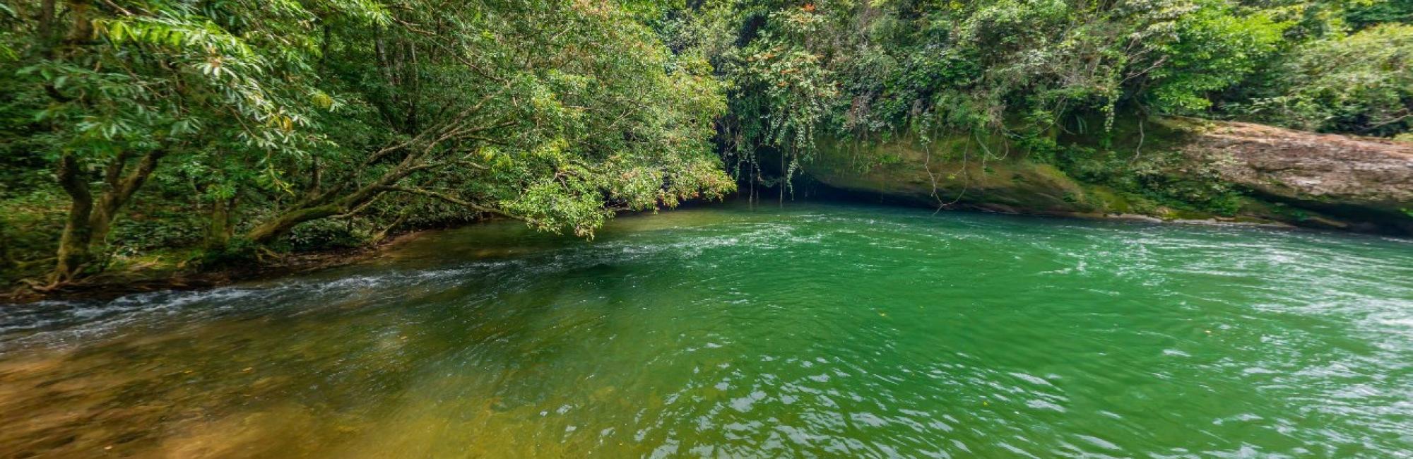
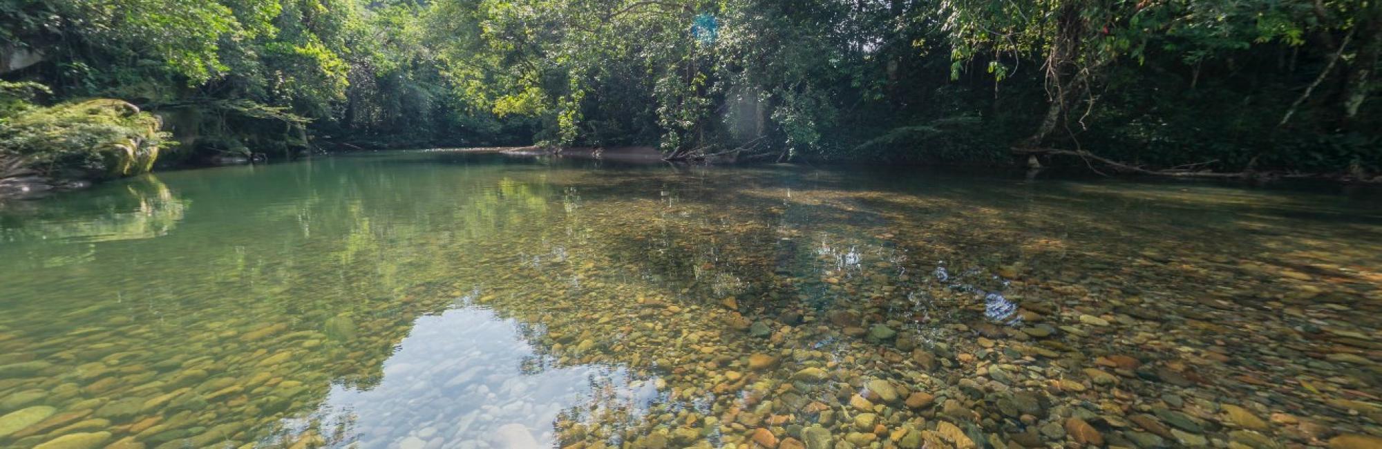
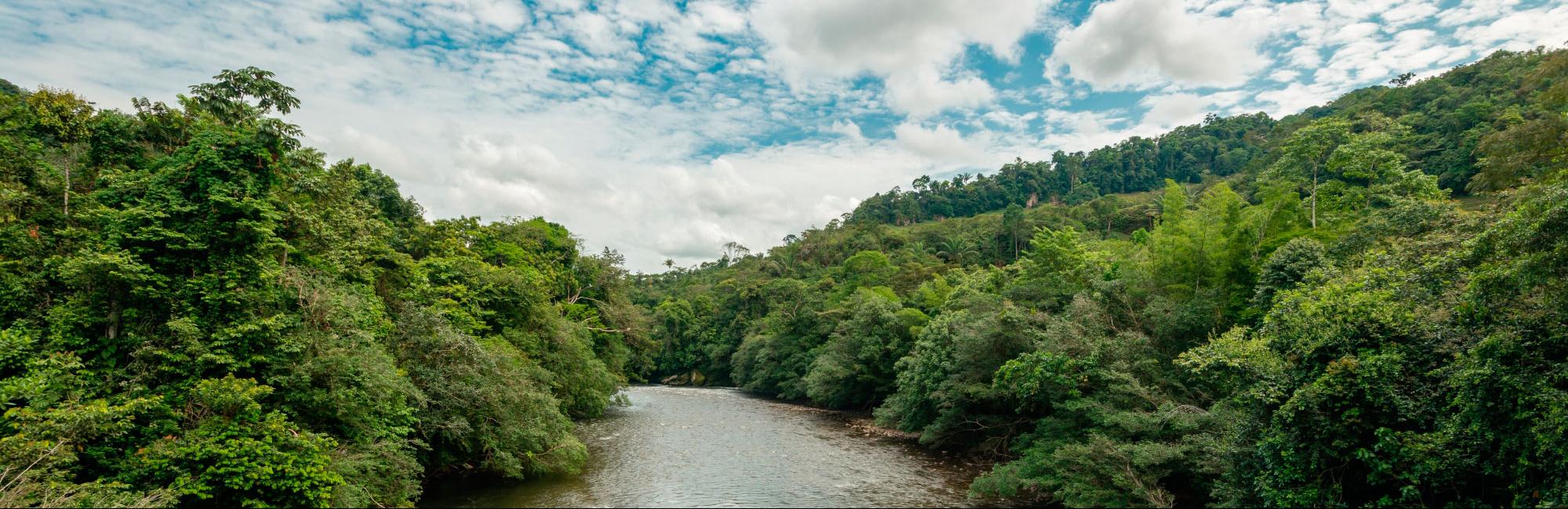
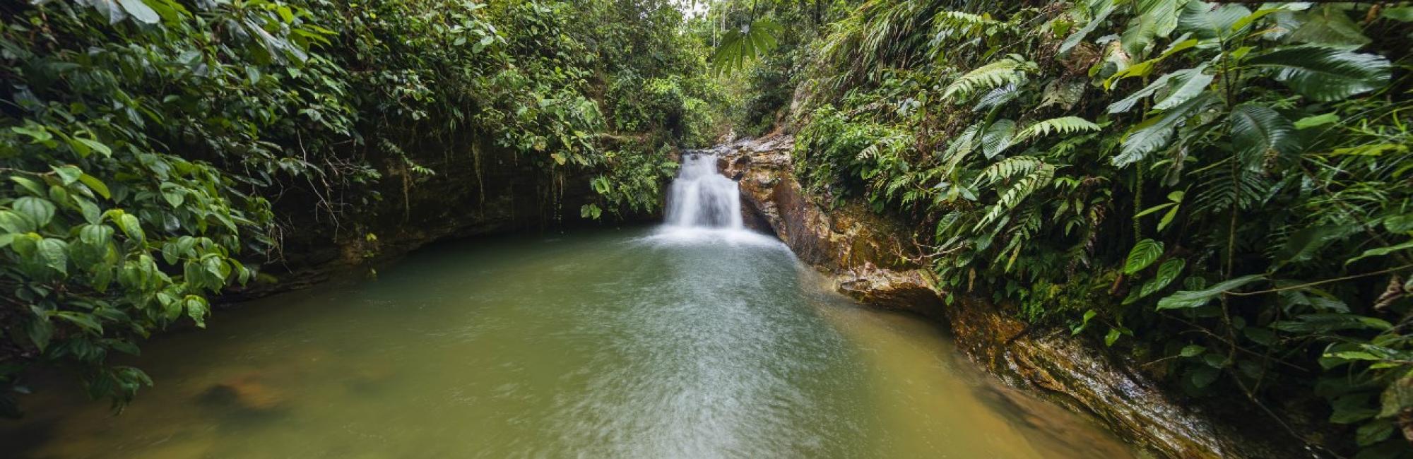
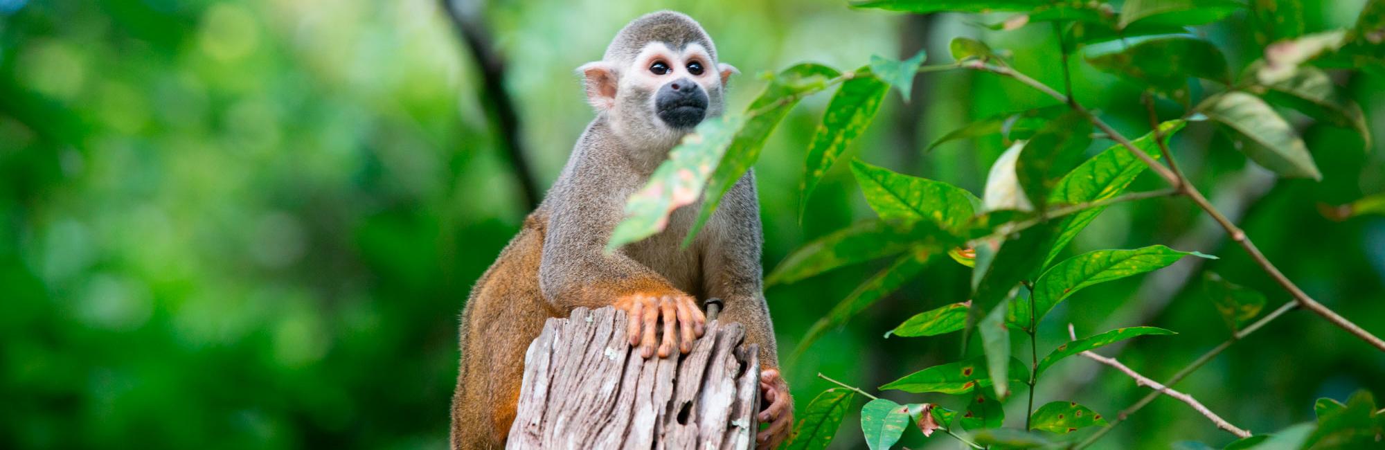
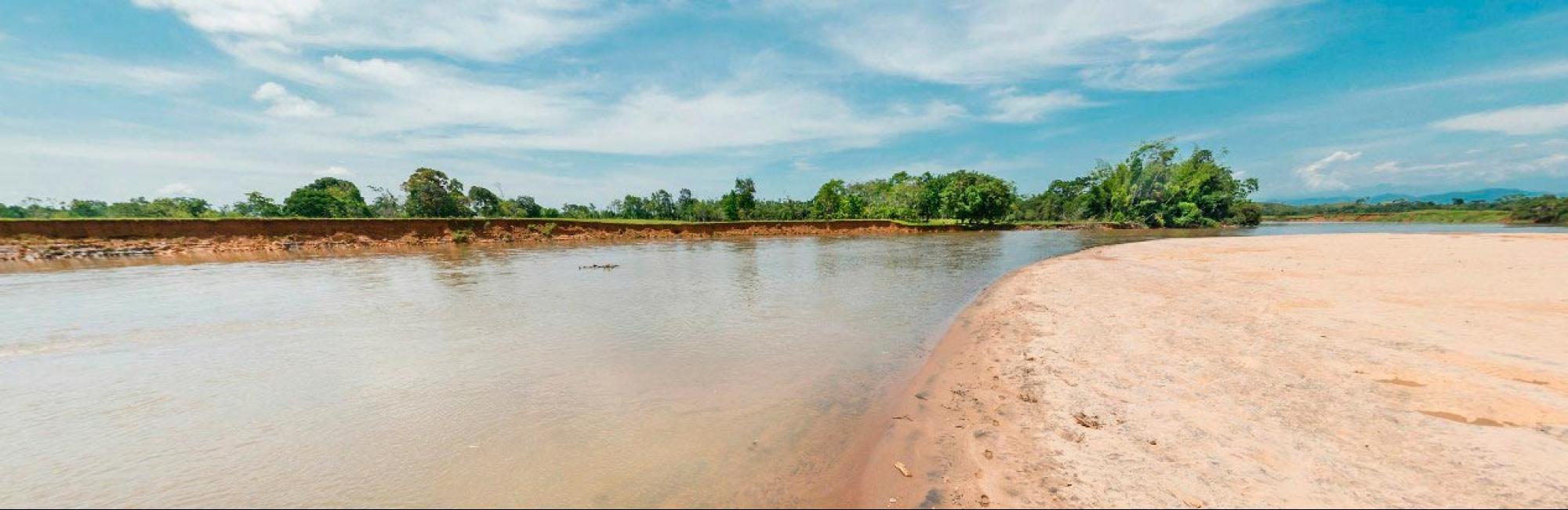
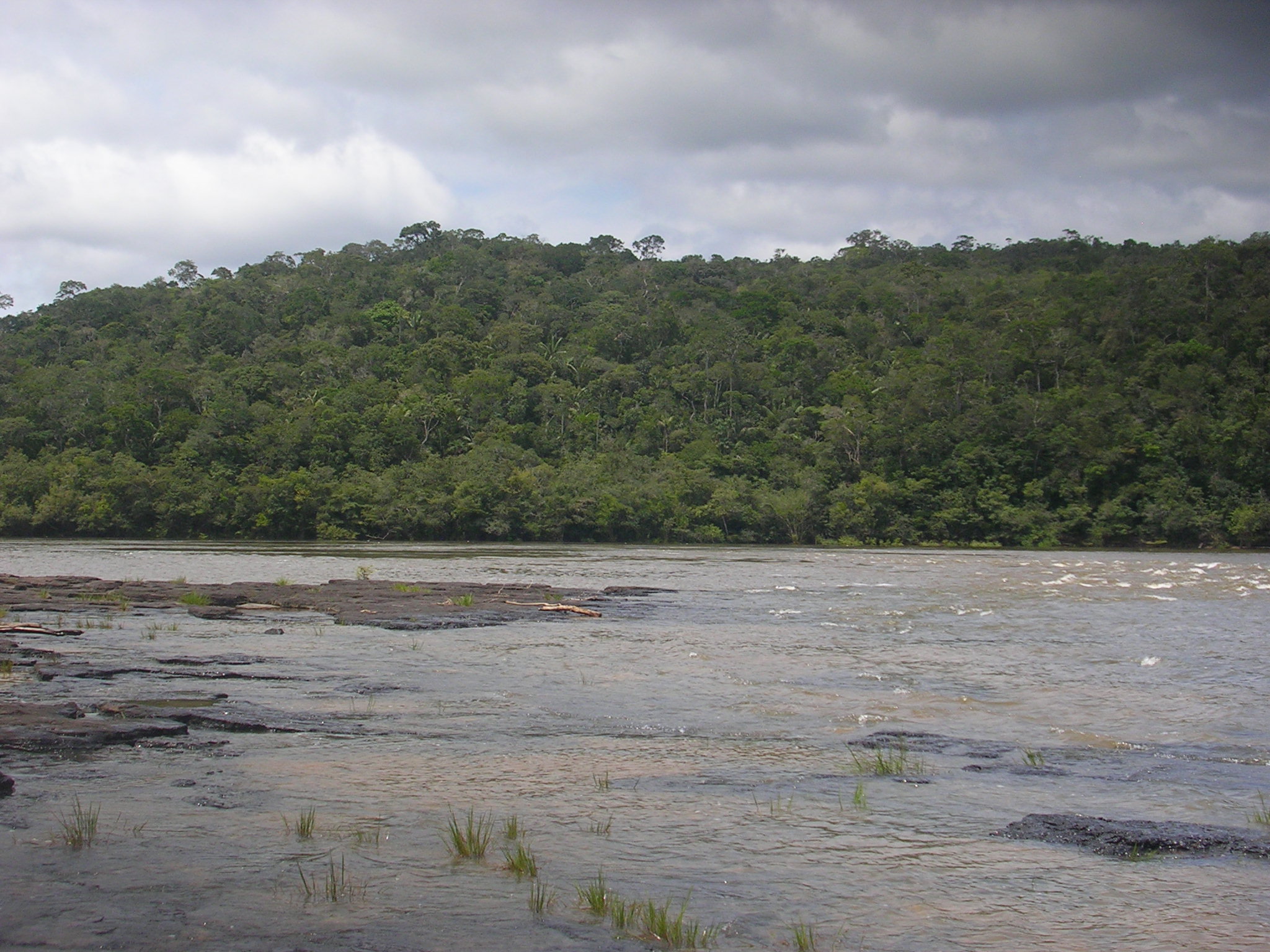
This River is characterized by calm waters and a low slope: this is typical of the Amazonian rivers and they have dark waters. In Its midsection there are some torrents that make the navigation harder. This River is part of the ecosystem that forms the area of the Natural National park "Chiribiquete" which has a management plan implementing. When the river enters toTo penetrate to the National Park "Chiribiquete" (56 km inside the Park) form a series of rapids, waterfalls and streams ("Torres" torrent, "Rafael" waterfall, "Santander" torrent, among others) that make impossible to navegate."
The Yari River receives the waters of the "Camuya"," Ventura" (limits between San Vicente and Solano towns), "Tajisa and Luisa" (limits between Cartagena del Chairá and Solano towns) rivers.